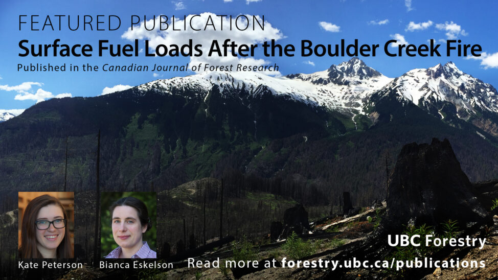
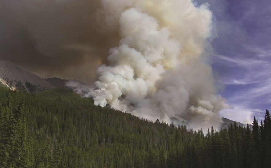
The 2017 fire season burned massive swaths of forest across British Columbia and the rest of the Pacific Northwest. It was a historic fire year, with more forest burned than any other year on record. But, that record only lasted a single year: in 2018, an even greater area of BC’s forest burned. In order to understand the true environmental effects of these increasingly severe wildfires, new tools are needed to rapidly detect and map the areas that they burn.
Solving this challenge formed the basis of my research with the Faculty of Forestry’s Dr Nicholas Coops as we uniquely combined satellite data sets to study forest fire burn patterns. As fires spread, they leave distinct pat-terns on the landscape. The severity, shape, size, and timing of these pat-terns are important indicators, each holding pieces of information about how the ecosystem has been affected and how it may respond. In forest ecosystems where fires are the dominant disturbance, these pattern indicators also serve as a template for forest management practices which aim to emulate natural forest cycles.
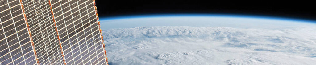
In the days, weeks, and months after a fire, weather and vegetation regrowth begin to obscure these spatial patterns. Rather than attempting to survey the burned areas in person, satellite imagery can be used to efficiently capture the fire patterns at scales ranging from small individual burns to nationwide maps. However, in practice, finding the right images acquired at the right time can prove challenging. Imagery that is too coarse misses the small but critical details, like unburned patches dispersed within the burned perimeters. Imagery too fine in scale often lacks the revisit rate to capture the fires multiple times before their patterns begin to fade. To further complicate the issue, smoke and clouds can result in gaps in usable imagery for weeks or months.
Swarms of miniature satellites, called CubeSats, help resolve this issue in a unique way. Dozens of these miniature satellites orbit the earth like a string of pearls, snapping images one after another. Taken together, they capture the entire surface of the earth nearly every day with high resolution cameras. Rather than being forced to choose between imagery that is detailed but infrequent and imagery that is frequent but has limited resolution, CubeSats offer the best of both scenarios, frequently delivering detailed imagery.
However, the sole use of CubeSats imagery presents certain drawbacks. When it comes to quality, miniature satellites can’t compete with their heavyweight cousins. Subtle but important properties, like the consistency between subsequent images, suffer in CubeSat imagery. In order to conduct a deep analysis of burned areas, ideally imagery from both CubeSats and conventional satellites would be combined.
My recent research focused on fusing these datasets in order to study forest fire burn patterns with an unprecedented combination of resolution, timeliness, and sensor performance. Together with Tanka, a Vancouver-based start-up, I developed software which automatically takes CubeSat images and, using imagery from the Sentinel-2 and Landsat satellites, ensures that each one is precisely calibrated to each CubeSat image. This makes it possible to examine how each pixel behaves through time, detecting both sudden and gradual changes in the condition of the vegetation. Simultaneously, I estimated spatial pattern indicators, including the complexity of the burn’s perimeter and the number of unburned patches within the greater burn area.
Thanks to the support from Tanka, Nikola Obrknezev, and the Natural Sciences and Engineering Research Council (NSERC), through my research I found that some key indicators of fire patterns are sensitive to the properties of the satellite imagery used to measure them. Considering that these indicators help predict ecosystem behavior after fires and influence forest management and harvesting practices, it is critical to ensure that our understanding of them is as accurate as possible. By fusing together the best available satellite images into a powerful new and unique dataset, we can make significant steps forward in improving our understanding of the behavior and importance of wildfire on BC’s landscape.
For more information, contact:
Nicholas Leach
Data Scientist at Tanka Building Products
nicholas.leach@alumni.ubc.ca